
Fall River Neighbor Block Sources
The immediate Fall River block can be studied through several records, each with a clear boundary. MUGIS shows parcel geometry and nearby map context. The assessor supplies property information for a selected parcel. The Registry can confirm an adjacent transfer and legal description. Voter and municipal-census records are different city and state layers, each governed by field-level access rules. Historical directories, newspapers, and maps are useful for past block questions, not a substitute for current property evidence.
| Source | What it shows about a block | Access |
|---|---|---|
| Fall River MUGIS | Parcel adjacency, street geometry, zoning or district context, and assessment link | Public interactive viewer with a map disclaimer |
| Fall River Assessor | Owner and property detail for each chosen parcel | Public owner, street-address, and parcel-ID search; printed card is $1 |
| Fall River Registry | Adjacent transfer chains, plans, and legal descriptions | Free search and watermarked viewing; paid copies; observed older name-index gap |
| Local voter record | Permitted public registration fields at an address | Municipal list or request, with confidential fields omitted |
| Annual municipal census | Listed household occupants in a city record | Targeted public-record request subject to limits |
| Directories and census | Historical address and household leads | Library and archive by year, with gaps and OCR limits |
| Sanborn map or plan | Physical block, lot, and building context | Library, map collection, or Registry plan source |
An owner can be an absentee owner, an estate, a trust, a corporation, or a public body. A registered voter is not every occupant. A municipal census is not automatically an online roster. The surrounding block comes into view only as a set of dated, limited records, not as one comprehensive public list.
Fall River Neighbor Parcel Method
Fall River MUGIS provides the practical adjacent-parcel method. Select the target parcel with New Parcel Selection or a map click. Enter a buffer length, select the available unit, click Buffer, and then select a parcel in the desired area. Repeat for the frontage or nearby block and save each parcel ID and location. Use the property-tax or assessment panel for the selected parcel, then check the assessor record for its owner and property details.
A buffer is a map radius. It is not a legal boundary and it does not prove that every selected parcel touches the target parcel in a legal sense. MUGIS can help with roads, zoning, assessment links, and visible parcel arrangement, but unusual boundaries need deed or plan confirmation. The viewer’s notices also distinguish map vintages, including the 2023 aerial-imagery addition, 2025 zoning and road-name update, and December 2025 parcel and assessment update.
- Find the known Fall River address and select its parcel in MUGIS.
- Use New Parcel Selection or the buffer control to identify the nearby parcels to inspect.
- Save each parcel ID, situs address, and map context before opening any owner record.
- Repeat the assessor lookup for each selected parcel, keeping mailing address and situs separate.
- Use the Registry deed or plan only when a transfer history or unusual boundary needs confirmation.
Open the MUGIS parcel viewer to see the selection and buffer controls used for this block workflow.
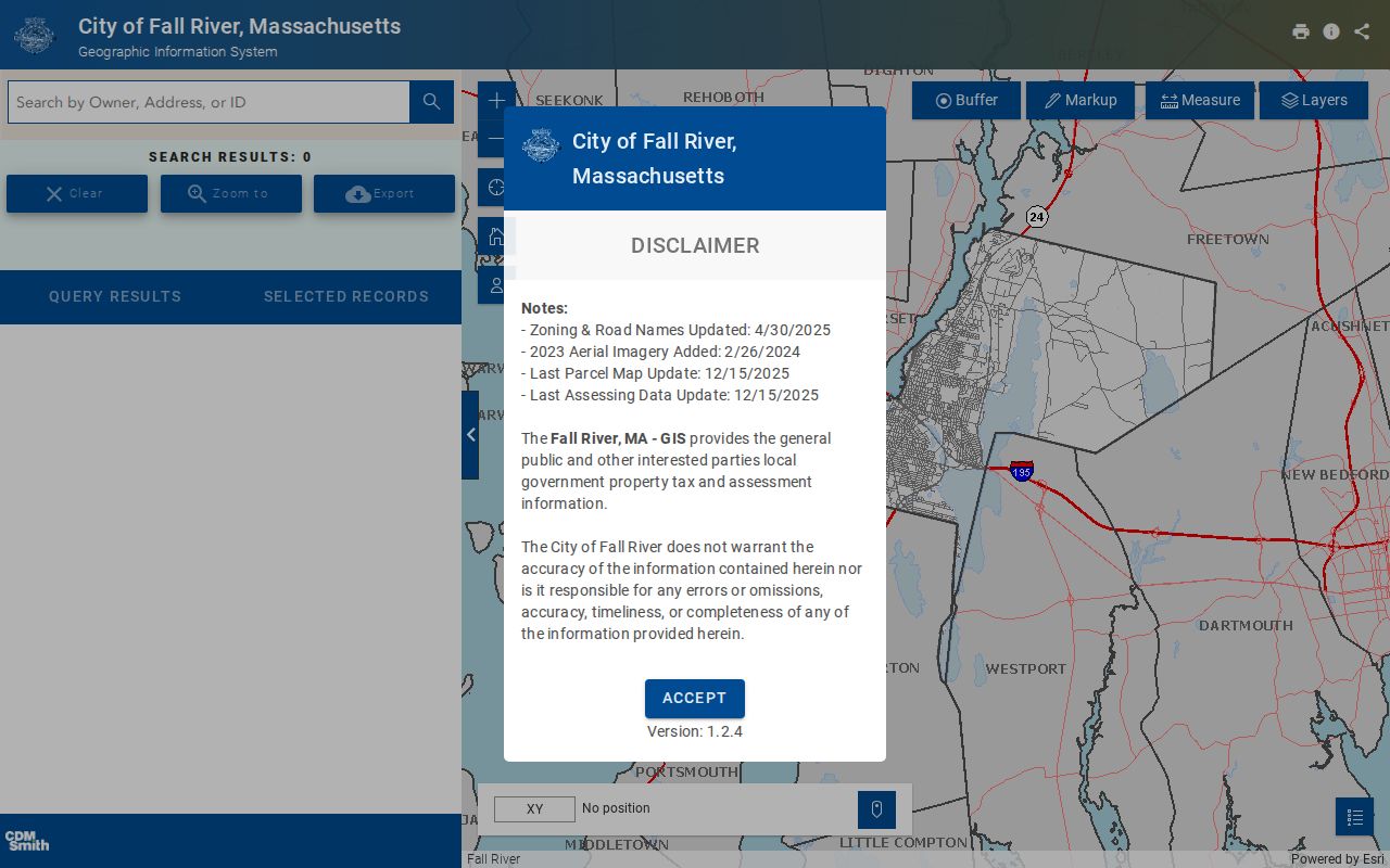
The map is a starting point for parcel-by-parcel research, not an occupancy map for the nearby block.
Fall River Neighbor Parcel Context
The assessor and map layer serve related but different roles. The assessor search supports owner name, street or address, and parcel-ID queries. Its property result can include owner fields, location, land area, land-use classification, improvement area, land and building values, total value, and narrative or feature information. MUGIS supplies the visible relationship of parcels and links toward assessment context. Always record a physical situs address separately from a mailing address because the latter can be outside Fall River or associated with a representative.
MassGIS maintains statewide property-tax parcel context, but it does not replace the city’s current assessor record. Parcel lines, aerial imagery, and valuation information can also have different update dates. For a transfer question, use the Registry and compare book, page, document, plan, and legal-description references. A deed is stronger evidence of a recorded transfer, but it still is not an occupant list.
The MassGIS property-tax parcel information gives the statewide context for the parcel data model.
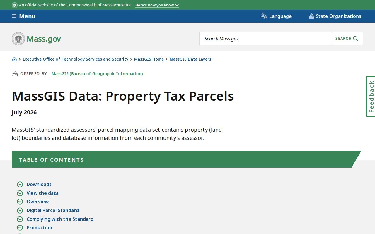
Use the statewide material to understand parcel data, then return to the Fall River assessor and MUGIS for the city-specific record.
Fall River Neighbor Voter Layer
Massachusetts permits public local voter-list fields that can include name, residence address, party, date of birth, active or inactive status, and voter ID. On request, some additional fields can include elections voted, previous changes, mailing address, registration date, or date of inactivity. Phone, email, veteran status, permanent-absentee status, confidential-voter data, and minors or pre-registrants are not public. The statewide file is not an unrestricted public download.
A local voter match identifies a registration record at its record time. It does not prove that every resident is registered, that every registered person remains at the address, or that all nearby occupants are shown. An inactive status can reflect the list-maintenance process, and a non-match can result from spelling, a recent change, confidentiality, or using the wrong municipal layer. The official Elections rules and a focused Fall River request are the proper access routes.
The Fall River annual municipal census page distinguishes the city street-list process from the voter record.
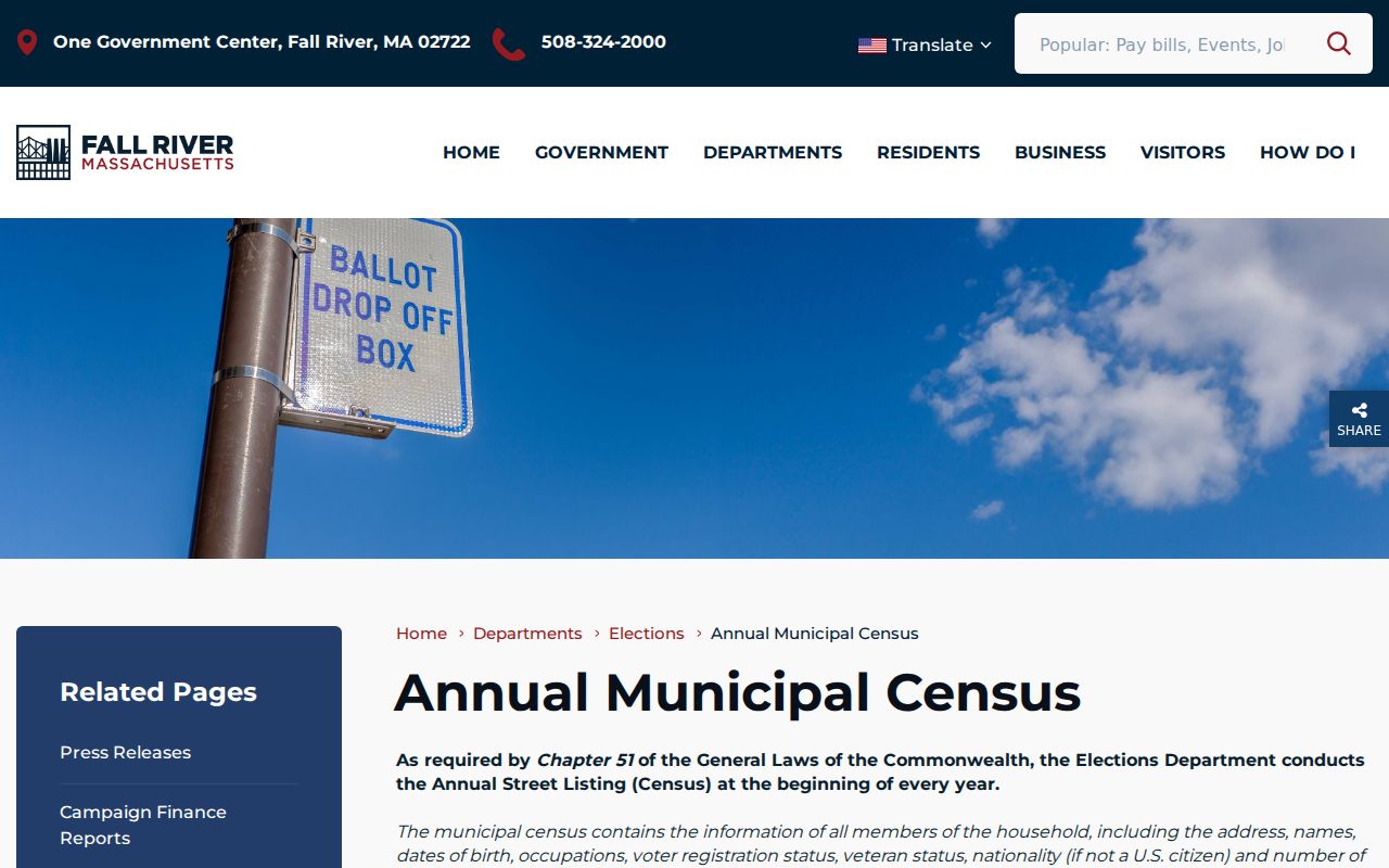
The municipal census can list all people at a household address, including children, but access requires a custodian and records-law analysis rather than a public web roster.
Fall River Neighbor Contact Gap
The community-directory layer is intentionally limited here because the source record is limited. Fall River’s city site links boards, commissions, departments, and community resources, but the official source set did not locate a current city-wide directory of neighborhood associations, HOAs, block watches, member rosters, or joining procedures. One city tax-counter listing names The Flint Neighborhood Association Corp. as owner of a parcel at 112 Flint Street. That proves a named organization in one property record. It does not establish a neighborhood directory or a member list.
| Community route | Confirmed use | Boundary |
|---|---|---|
| Fall River city boards and community resources | Official entry point for city departments, boards, and services | Not an official neighborhood-association directory |
| Fall River Licensing Board | City licensing categories and public contact route for a specific organization or address request | Does not supply neighborhood membership |
| Fall River Public Library and FRHS | Historical newspapers, directories, yearbooks, city documents, and archival affiliation leads | Current organization rosters require the organization’s consent |
| The Flint Neighborhood Association Corp. | Named as a parcel owner in a city counter listing | No official city-wide association contact or roster was found |
For a current civic contact, use the relevant city board page, the library, or the association itself. Do not infer an association’s service area, officers, membership, or contact method from a parcel-owner name. That research gap is more useful stated plainly than filled with a made-up directory.
The Fall River city portal is the official starting point for the available boards and community links.
The city gateway can route a specific civic question, but it should not be read as a roster of nearby people.
Fall River Neighbor Official Comparison
Official sources and commercial neighbor tools serve different purposes. A commercial category of address and people products may combine property, marketing, public-record, and inferred relationship signals. Those results can be stale, duplicate similar names, and merge people who share an address at different times. Official sources are narrower, but they preserve the difference between parcel ownership, registration, a recorded transfer, and a historical address entry.
| Research route | What it is useful for | Key limit |
|---|---|---|
| Official parcel, assessor, and deed sources | Documented property, transfer, and legal-description questions | Owner is not necessarily an occupant |
| Official voter and municipal records | Permitted registration or city-record question at a given date | Protected fields and people remain outside the record |
| Library, directory, map, and newspaper sources | Historical block and community context | Gaps, OCR, and date limits require cross-checking |
| Commercial neighbor tools | Possible starting leads only | Not official evidence and may infer or conflate relationships |
For a full street-by-street record chain, use the Fall River street directory. The block method remains deliberately smaller: select nearby parcels, confirm the record type for each, and stop when the available official evidence stops.
Fall River Neighbor Historic Context
Historical affiliations are better approached through released materials than through current membership assumptions. The Fall River Historical Society, Public Library, Durfee High School and Keeley Library yearbooks, churches, civic groups, municipal boards, newspapers, city documents, and archival collections can provide historical leads. FRHS holdings include city directories, maps, manuscripts, textile-mill records, photographs, church and business materials, and more than 76,000 newspaper issues. A newspaper notice or yearbook entry can connect a person to an organization at a date, but it does not establish current membership.
Neighborhood labels also change with time. Industrial corridors, migration histories, map labels, directories, and newspapers can show when a name was used, but a label should not be assumed to be a permanent legal district. Use the relevant year’s directory, map, or newspaper, then pair it with a parcel or address reference. That is especially important for older blocks whose street numbers or place names have changed.
The Fall River Historical Society collections overview shows the scope of local historical materials available for a dated community question.
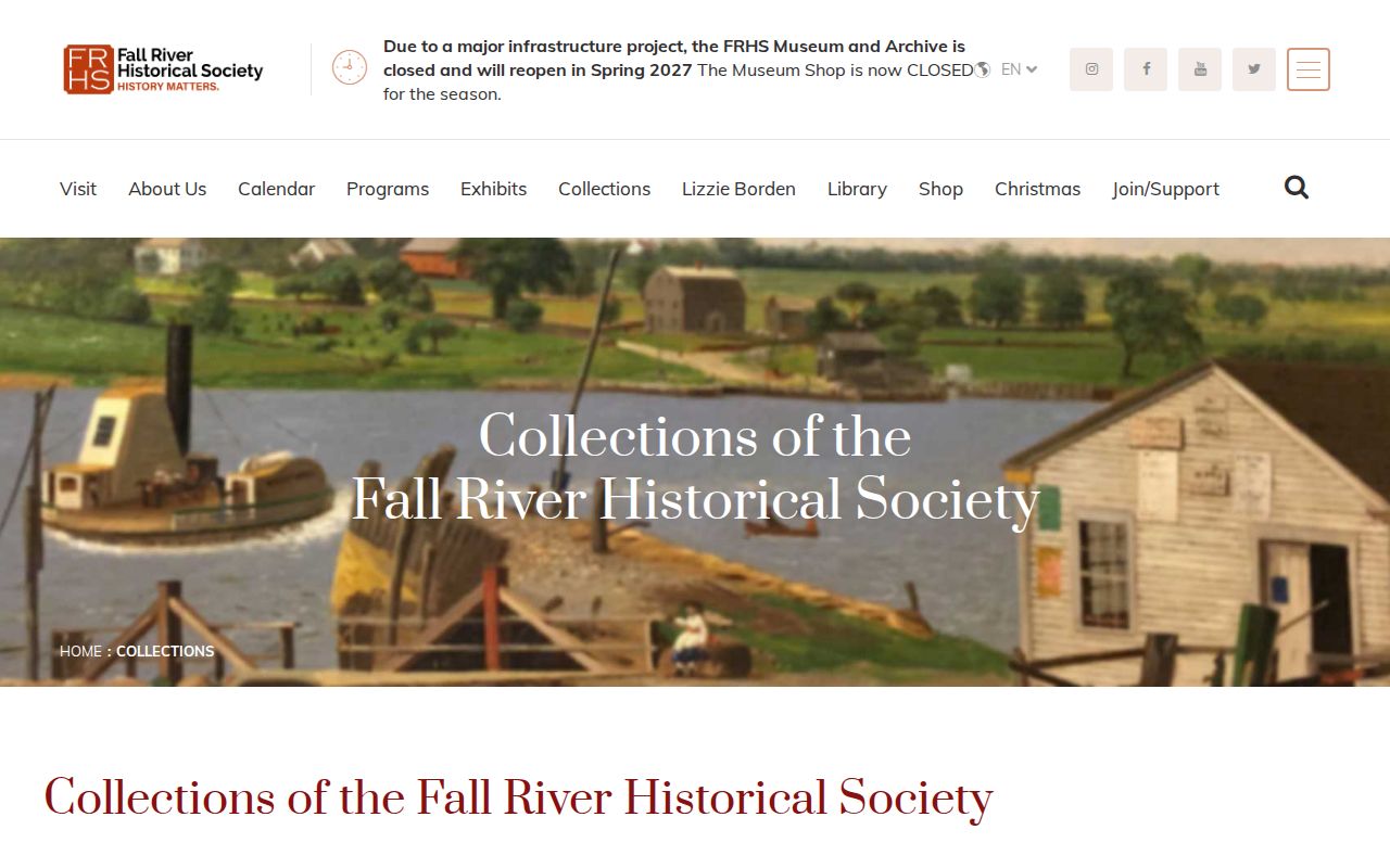
The collection supports historical context for a block, while present-day membership and contact information remain organization-held unless released.
Fall River Neighbor Record Routes
Where a block question turns into a question about a licensed public establishment or organization, the city’s licensing route can be more useful than an informal neighborhood list. The Fall River Licensing Board identifies categories including common victualler, alcohol, club, package store, entertainment, lodging house, and several vehicle-related licenses. Its records can be requested by a specific category, year, or address if a document is not posted. A public document may identify an applicant or responsible party, but that is not a household record.
The City Clerk and Licensing Board remain record keepers for their own defined material. Ask for a targeted address and date range rather than every item related to a block. City documents, permits, and historical business records may explain an address’s use or organization history, but they should not be turned into a directory of private residents.
The Fall River Licensing Board page supplies the official category and contact information.
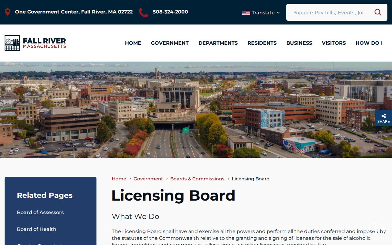
A licensing record can answer a specific public organization or address question without identifying every person associated with the block.
Fall River Neighbor Privacy Limits
Several kinds of block information remain private or restricted. Utility customer names and accounts, RMV address data, voter-file phone and email, confidential-voter addresses, ACP substitute-address participants, sealed or impounded court materials, juvenile records, protected health or license fields, and people not named in an accessible public record are not a public neighbor list. Do not infer that a person lives at a parcel because a name appears in a related business, deed, court, or historical record.
Confidential voter registration under M.G.L. c.51 §51A can remove a voter’s name and address from ordinary public lists or use a substitute. The Massachusetts Address Confidentiality Program offers qualifying participants a substitute address and mail forwarding. A public-records request under M.G.L. c.66 §10 and c.4 §7(26) may reach a releasable record, but it does not override an exemption or reveal a protected address.
Lawful Fall River Neighbor Research
Researching a block for personal neighborhood curiosity, family history, civic context, or a property question should stay tied to the limited record that supports it. A public address is not permission for stalking, harassment, threats, doxxing, impersonation, repeated unwanted contact, or efforts to uncover a protected person’s location. Massachusetts criminal harassment law is M.G.L. c.265 §43A, with separate stalking and harassment-prevention protections. Preserve records when misuse occurs and contact the appropriate local law-enforcement, court, or custodian channel.
Lawful use. Use local neighbor research only for personal, lawful purposes. Do not use parcel, voter, community, or historical material to stalk, harass, intimidate, expose, or harm anyone.