
Fall River ZIP Code Directory Coverage
Five ZIP codes are commonly associated with Fall River, but each is a postal clue rather than a fixed municipal district. The station names help orient a search: Highland, Flint, South, Main Government Center, and the standard delivery area associated with 02721. An individual address still needs postal verification. The coverage table preserves that distinction so a reader can start with the likely code without treating it as a boundary map or a household list.
| ZIP code | Area or station clue | Postal source | Research note |
|---|---|---|---|
| 02720 | Highland area | Highland station, 1701 President | Verify each mailing address; a station clue is not a legal neighborhood line. |
| 02721 | Fall River standard delivery area | USPS ZIP Code Lookup | No official static delivery-area page was located for exact coverage. |
| 02722 | Main Government Center and central PO-box use | Main Post Office, 2 Government Center | USPS confirms 02722-9998 for the post office; the code can be mailing or PO-box oriented. |
| 02723 | Flint area | Flint station, 1662 Pleasant | Station names are postal clues only. |
| 02724 | South Fall River and South Main area | South station, 1460 South Main | Postal coverage can extend beyond city limits. |
The postal reference is strongest when it narrows one address. It cannot turn station labels into an authoritative list of every parcel or person in an area.
Fall River ZIP Code Stations
USPS identifies the Fall River Main Post Office at 2 Government Center with the 02722-9998 address. The same locator also supplies the Highland, Flint, and South station clues. These locations are useful when checking a mailing route or knowing which code appears with a city address. They do not establish city jurisdiction, parcel ownership, or the boundaries of a neighborhood.
The USPS Fall River Main Post Office listing supplies the post-office details used for this postal reference.
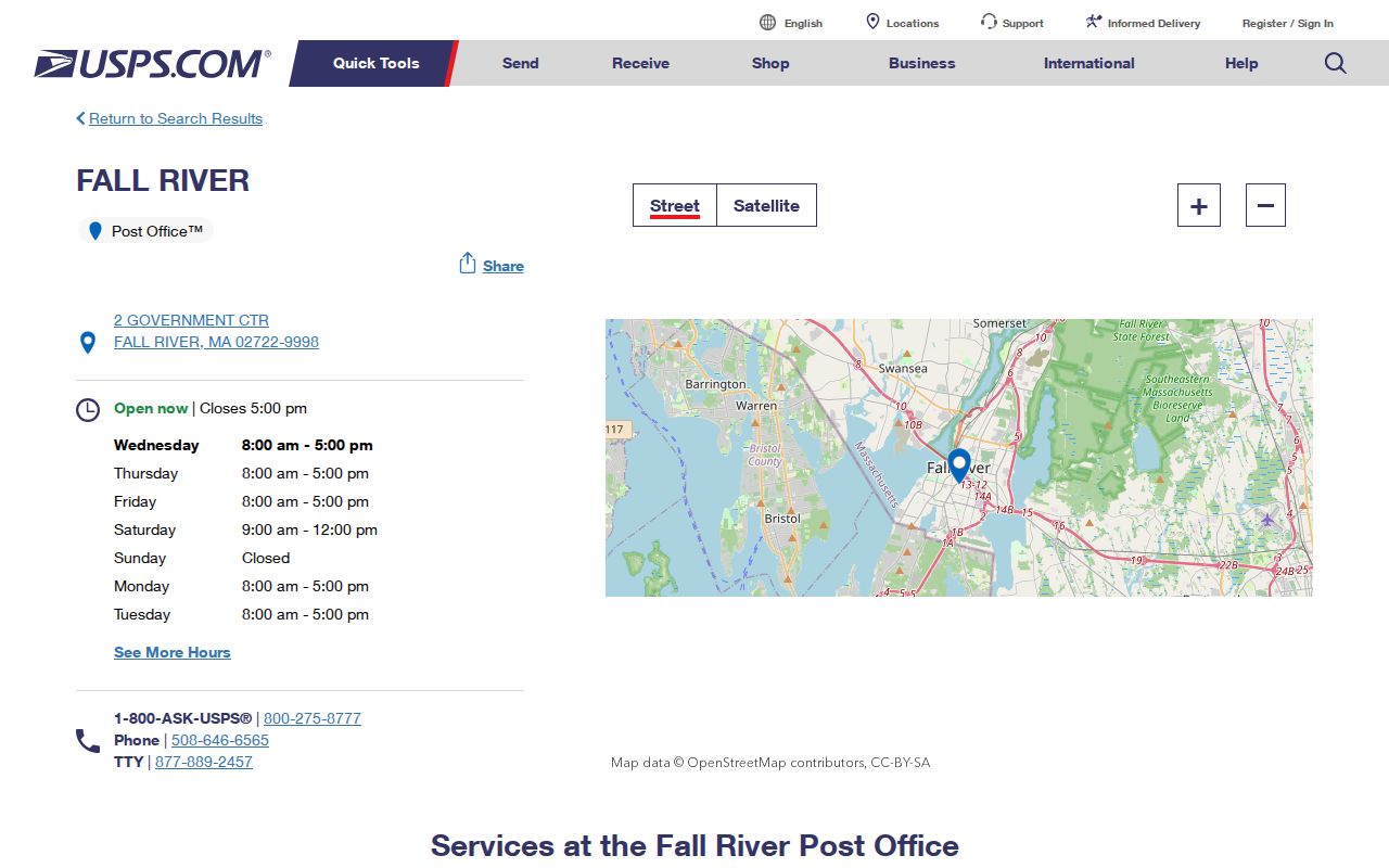
Use a station listing as one part of an address check, then use the ZIP lookup for the individual delivery address.
Fall River ZIP Code Address Checks
The USPS ZIP Code Lookup accepts a street, city, and state address and returns ZIP or ZIP+4 information. It is the source to use before placing an address in a postal code. This matters most for 02721, where the source set did not locate an official static page that defines a delivery boundary. A list of likely codes is a starting point, not a substitute for the address result.
The USPS by-address screen below shows the individual-address path rather than a broad ZIP map.
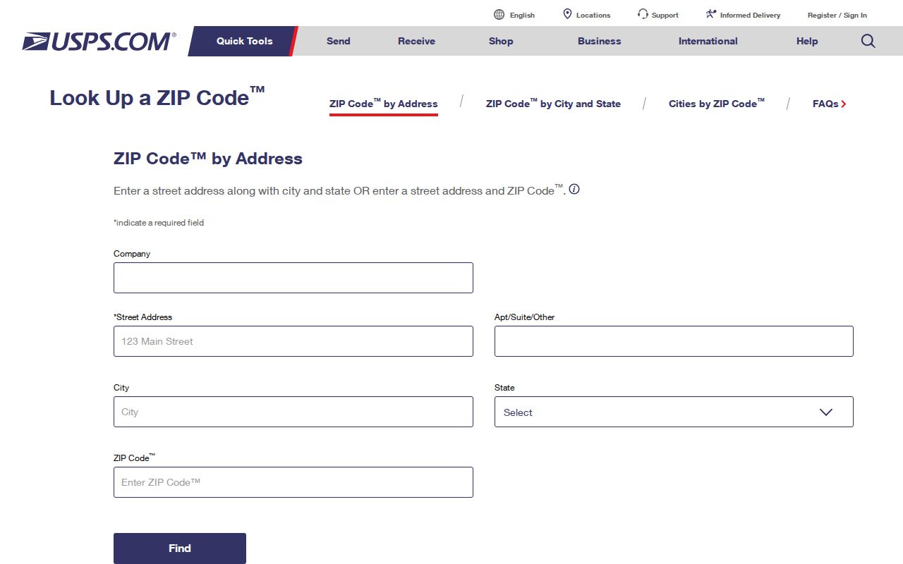
Keep the returned postal result with the address searched. A later record may use a property address, a mailing address, or a historic street form instead.
Fall River ZIP Code Geography
MassGIS offers five-digit ZIP polygons built from USPS and HERE data, but its documentation cautions that these polygons are geographic representations of postal areas, not legal municipal boundaries. Census ZCTAs are statistical approximations, not USPS delivery routes. A Census display might show nearby codes such as 02717, 02747, or 02790 without making them Fall River ZIP codes.
The MassGIS ZIP polygon documentation explains the boundary-data limits relevant to this postal reference.
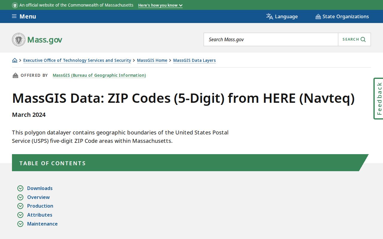
Use the polygon layer for context, then return to USPS for mail delivery and to city parcel records for land geography.
Fall River ZIP Code Search Fields
Fall River's assessor portal searches by street name, street number, parcel ID, and owner name, not ZIP. MUGIS supplies map, parcel, and buffer controls, also without a ZIP field. The Massachusetts occupational-license search is one official tool that does have City, State, and ZIP fields, but it returns a credential or business record rather than a resident list. Use it only when that kind of record fits the question.
| First, middle, last name | Name fields for an individual license record. |
|---|---|
| City, state, ZIP | Geographic fields that can narrow an individual or business license search. |
| Board and license type | Controls that identify the credential category. |
| License number | A direct identifier when it is already known. |
| Search | Returns a public credential result whose displayed fields can vary by board. |
The Massachusetts license search illustrates a genuine ZIP-capable public form.
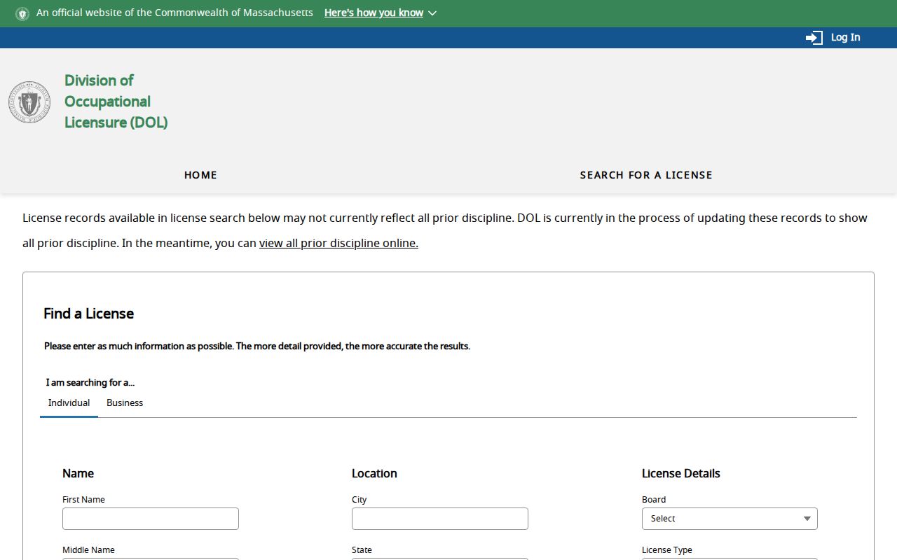
Its result can confirm a public credential or business location, but it should not be used to infer a person's home address.
Fall River ZIP Code Estate Searches
For a former-resident or heir question, Massachusetts Unclaimed Property provides another official form with City and ZIP fields. It searches names, city, ZIP code, and property ID, then allows a claimant to check a claim or upload proof. The state says claims are free, but a claimant must prove the right to the property. It is not a current-address or real-estate source.
The Massachusetts unclaimed-property search shows the city and ZIP fields that can support an estate lead.

Use a possible match as a lead for an eligible claim, then verify identity and entitlement through the state's claim process.
Finding Fall River ZIP Code Records
No official Fall River portal found in the research returns every resident in a ZIP. A ZIP-wide effort needs an address universe from USPS or a postal geography layer, followed by record checks address by address. The assessor and MUGIS do not expose a ZIP filter, and the voter fields inspected did not establish a ZIP filter. That limitation is important because a quick, broad list would mix different kinds of geography and people records.
- Verify each known mailing address in USPS ZIP Code Lookup and record the returned ZIP or ZIP+4.
- Use MassGIS only to understand the approximate postal area, then choose individual addresses for review.
- Search the Fall River Assessor by street and number or parcel ID for the physical parcel and its owner record.
- Use MUGIS for parcel geometry, adjacent parcels, or assessment links when map context matters.
- For releasable municipal records that are not online, make a specific request under Massachusetts Public Records Law, M.G.L. c.66 §10 and c.4 §7(26).
Once a ZIP has narrowed the address, the Fall River street directory has the detailed address-based workflow for property, map, and deed checks.
Fall River ZIP Code Limits
Postal routes and city limits serve different purposes. A Fall River mailing city and ZIP do not prove a parcel sits within the legal city boundary, and a city parcel may use a station or postal name that does not match a neighborhood label. USPS validates mail, MassGIS visualizes postal geography, MUGIS and the assessor identify parcels, and a deed uses legal land description. Treat those results as related evidence, not interchangeable answers.
- ZIP code and ZIP+4
- A five-digit postal area and its more precise delivery add-on. USPS returns the appropriate result for a given address.
- PO-box ZIP
- A code used with post-office boxes or centralized postal use. It does not identify a physical residence.
- Unique ZIP
- A code associated with one organization or delivery arrangement. The research did not identify one as a citywide Fall River resident area.
- Carrier route
- A postal delivery grouping within a ZIP. It is a mailing tool, not a city jurisdiction or property boundary.
Fall River ZIP Code Record Requests
When a ZIP is only part of a question, ask the custodian for the record rather than assuming an online ZIP search exists. Fall River's public-record guidelines allow a request in person, by mail, fax, or email to the Records Access Officer. Describe the record type, date range, address or street, desired format, and the precise field needed. The city encourages specificity and generally responds within ten business days with access, copies, a lawful delay, or a denial.
For an election extract, the city Elections page provides a public-record request form and examples. For a parcel question, the Assessor and Registry are the better starting custodians. A request under M.G.L. c.66 §10 and c.4 §7(26) does not override protected voter status, Address Confidentiality Program protections, sealed material, or another statutory exemption.
Note: Ask for a defined record and address range, not a broad list of people associated with a ZIP, because postal geography and releasable record fields differ.
Fall River ZIP Code Property Keys
Three address layers prevent many mistakes. A situs address is the property's physical address used by the assessor and GIS. A mailing address is where the city sends tax correspondence and may be outside Fall River. A legal description, plan, or book-and-page reference identifies land in the deed chain. A ZIP belongs to the mailing layer, while historical city directories preserve the address string of their own time.
Use ZIP for mail, city limits for jurisdiction, and a parcel ID or legal description for land. None of those alone identifies a complete household.
For older city-directory research, modern ZIP codes will not appear in nineteenth-century volumes. Start with the historic street and number, then bridge it to a current parcel only when the evidence supports the connection.